Surveying and Analysis
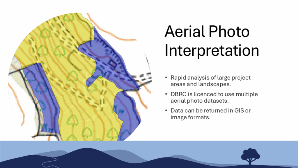
Aerial Photo Interpretation
Rapid land-scape scale assessment and mapping in GIS or mapped image format.
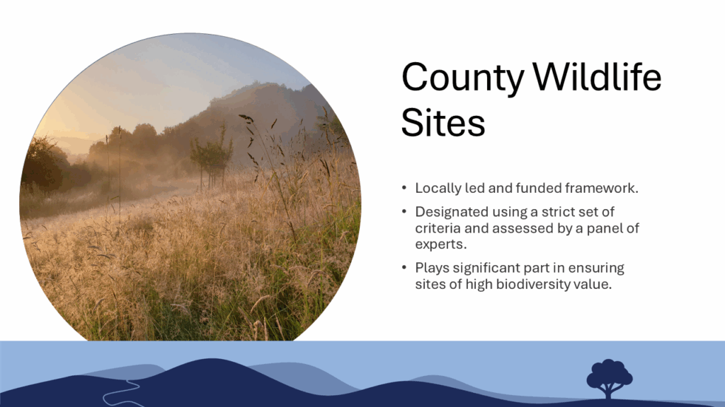
County Wildlife Sites
Learn about the framework around surveying and designation of County Wildlife Sites.
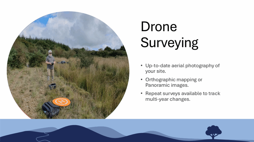
Drone Surveying
Request custom aerial photography of your site by the DBRC drone team.
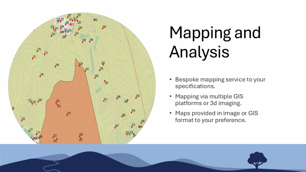
Mapping and Analysis
Request custom mapping of habitat or species data to your specification. Available in multiple formats.
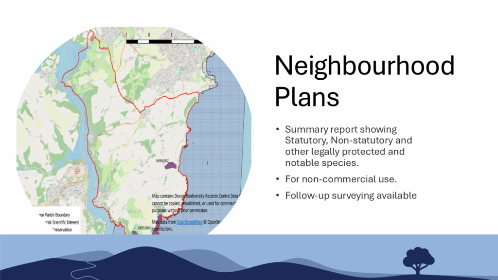
Neighbourhood Plans
Order a plan for your local parish to identify sites and wildlife records of interest.
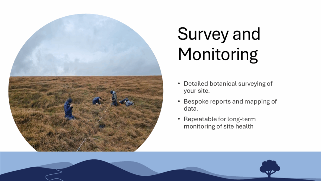
Survey and Monitoring
In depth, on-the-ground botanical and habitat surveying by our FISC accredited survey team.
As well as holding environmental records, DBRC is fortunate to have dedicated survey and technical teams to collect and display data. Our botanical and projects team are FISC accredited up to level 5, and can be requested to provide in detail botanical or habitat survey data in a variety of formats, from UKHAB to NVC and Phase 1.
DBRC also provides data visualisation and mapping services, both for data we hold and customer data. We are able to provide a variety of visualisation and interpretation methods to best suit your needs. As data often works best when combined with other data, presentation is key for readbility and communication of your message.
When designing a project, we advise thinking carefully about data collection and presentation as a key part of planning. Our technical team are able to advise on the best options for your project and quote for our support.