GIS Mapping and Data Analysis
Do you have habitat, sites or species information you need mapping?
Effective data display can make an impact and make your message stand out
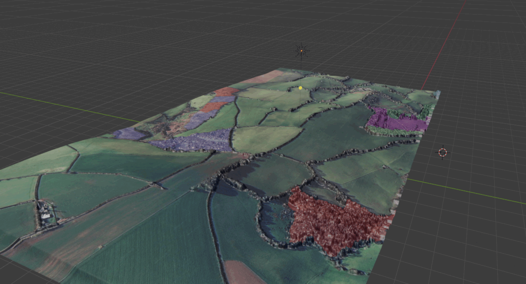
- DBRC use a range of GIS software including QGIS, ARCGIS, and MapInfo to display and present data and are able to create maps to showcase your work. This includes the use of LiDAR and terrain modelling and other datasets where appropriate.
- We can map and calculate areas of habitats to your specific requirements or calculate distances, for example for protected species licence applications.
- We can provide you with maps in JPEG or GIS format (subject to your licensing agreements with OS).
Dartington Hall interactive map
Below is another example of one of the many ways we can showcase your data to best suit your audience and needs. In this case we have produced a simple species map with removable layers and pop-up labels to display species data from several taxonomic groups within an area. Please note that the data below has been randomised for public display.
Combined Habitat Layer
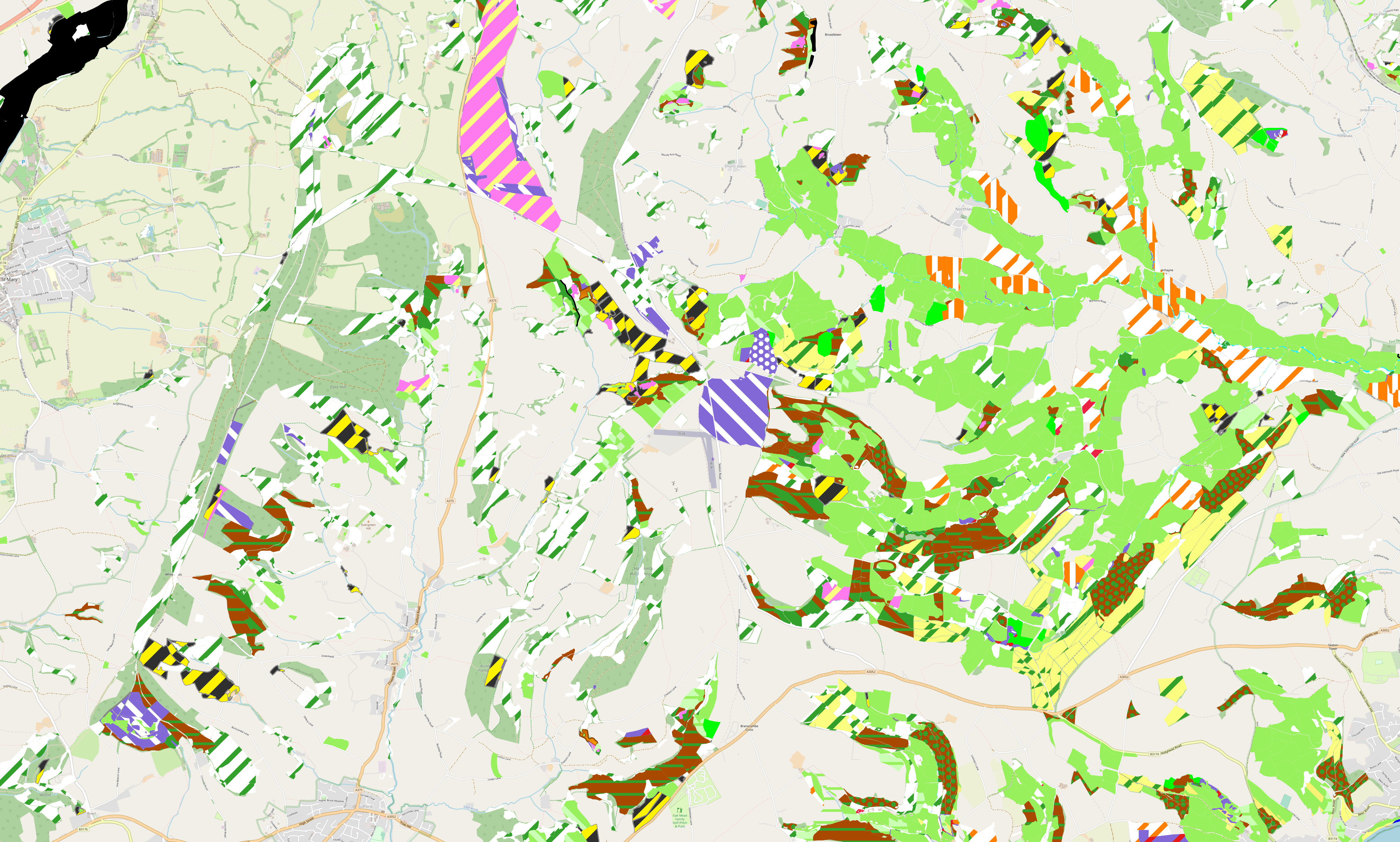
Over many years, DBRC has generated significant quantities of habitat data through its many projects and initiatives. From high quality ground-truthed data from our survey team, to extensive broad habitat data captured through aerial photo interpretation, within targeted areas of the county.
Whilst traditionally there has been a focus on Priority Habitats within our outputs, there are other significant habitats and land uses, which are important for species, and a functioning landscape. To ensure that all of the habitat data DBRC holds, can have maximum impact for Natures Recovery, We have spent the last two years working on a method to rank and combine these various datasets. The aim, to produce a map of all the habitat data we hold in Devon – our Combined Habitat Layer. This layer has then been combined with openly available external datasets such as Natural England’s Priority Habitat layer, to produce maximum coverage of the Devon landscape.
The combined habitat layer contains land use data in the form of UKHab primary and secondary codes, as well as confidence data based on the age of the data and methodology used to create it. This will be continually updated with both the latest copy of the priority habitat inventory, as well as new datasets DBRC produce. In this way, the combined habitat layer will provide the most up to date available data at any one time.
This dataset will soon be incorporated into our existing data search product as part of the habitat search data suite, as well as being available as a stand-alone product.